
A COMMUNITY CONVERSATION
A Better Springs,
Same Hometown Feel.
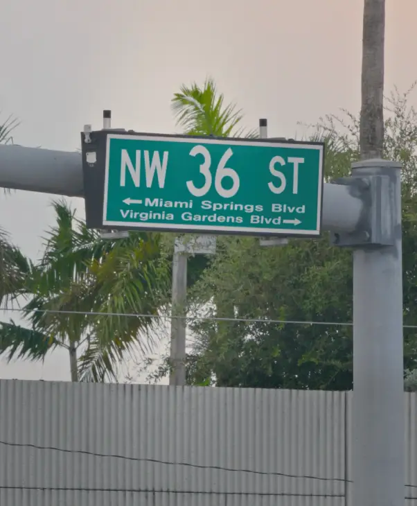
Join the conversation and help shape the future of the 36th Street corridor. Together, we can create a better Southeast Springs while preserving what makes our city special.
Let's talk about 36th Street.
The Process
Participate
Safer streets.
More peace of mind.
More local business.
More reasons to stay local.
Your voice, first.
Community-led, every step.
New sidewalks.
Better walkability.
Join the Conversation
SEPT 15, 2026
Community Listening Session
OCT 15 ,2026
Community Roundtable & Open Discussion
Join us at the Miami Springs Aquatic Center at 7:00 PM to continue the conversation with residents, City leaders, and community stakeholders as we discuss feedback, explore ideas, and help shape what comes next.
We’re not here to announce a finished plan. We’re here to hear from you.
THE INITIATIVE
A better 36th Street.
The local businesses on 36th Street have been here for decades. They stay.
Corridor zones
Three zones. Same Springs.
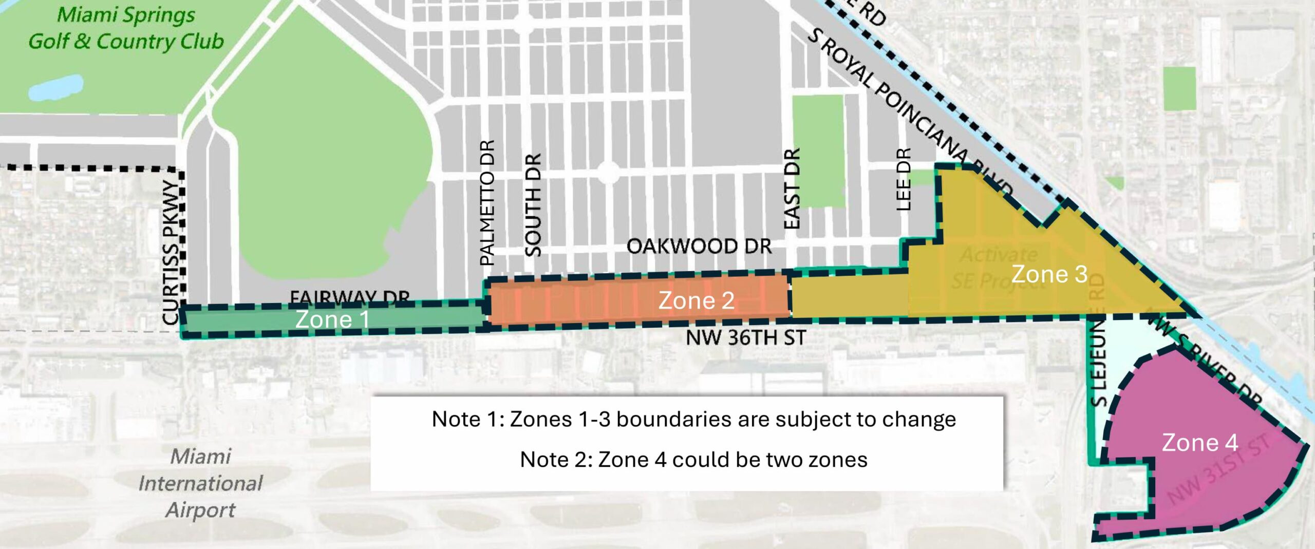
01
Curtis Parkway → Palmetto Drive
Arts and Culture District
02
Palmetto Drive → East Drive
Hospitality
Zone
03
East of East Drive
Urban
Village
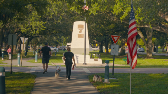
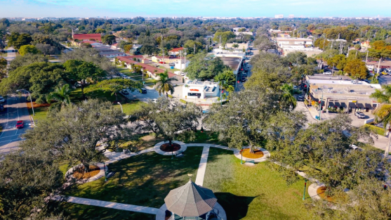
Every proposal will be considered with one goal in mind: moving the 36th street corridor forward while preserving the small-town character and hometown feel residents value for our Miami Springs.
The ballot measure applies only to the Urban Village area — not the entire Northwest 36th Street corridor.
A stronger 36th Street can bring together safer streets, local businesses, and a more connected community
WHAT WE’RE PROPOSING
- Making streets safer and improving walkability throughout the corridor.
- Supporting local businesses and creating more opportunities for residents to shop, dine, and stay local.
- Improving the everyday experience of walking, parking, and visiting the 36th Street corridor.
- Encouraging thoughtful progress while preserving Miami Springs’ small-town character and hometown feel.
WHAT WE’RE PROTECTING
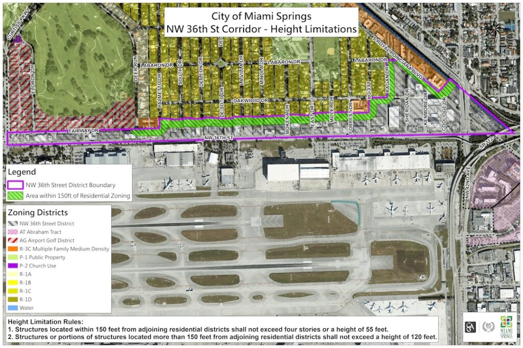
- The existing zoning height limits remain unchanged.
- The small-town character and hometown feel that make Miami Springs special.
PROCESS
What happens, and when.
1
SEPTEMBER 15, 2026
Introduce & Listen
2
FALL 2026
Roundtable & Open Discussion
3
FALL - WINTER 2026
Public Review & Transparency
4
2027 AND BEYOND
Long-term Revitalization
faq
Ask Southeast Springs
The basics
What is Activate Southeast Springs?
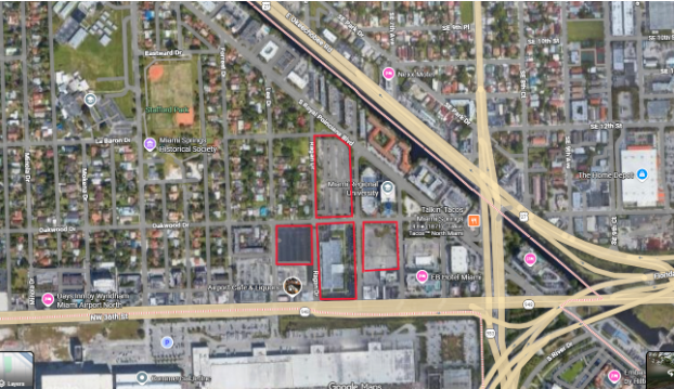
An initiative to revitalize the Northwest 36th Street corridor, the stretch that runs from Curtis Parkway east to Lejeune Road. The goal is to replace the blight along the city’s main gateway with a mix of uses that work for residents: places to eat, shop and walk, and housing for people who want to live in Miami Springs long-term.
Where exactly are we talking about?
The NW 36th Street corridor between Curtis Parkway and Lejeune Road.
Public safety
How does redevelopment help with crime?
Two ways. It changes who’s on the street, permanent residents and customers mean more eyes on the corridor and more people who report problems, versus a transient population passing through.
Won’t more people just mean more crime?
The corridor already generates a significant share of the City’s police calls. The current pattern is tied more closely to visitor and transient activity.
Adding permanent residents, active businesses, and more everyday activity can bring more eyes on the street and help create a safer, more active corridor.
Height and Parking— what actually gets built
How tall will these buildings be?
The existing zoning height limits will remain unchanged.
within 150 feet of residential areas = up to 4 stories; beyond the buffer = approximately 11 stories
How will parking be handled for new development?
Every development must meet all applicable parking requirements.
Are we getting micro residential units?
No.
Micro residential units are not permitted. Minimum unit-size requirements prevent them.Taxes and city finances
What happens if the city does nothing?
Doing nothing is a legitimate choice, and residents should understand what comes with it. The City’s current tax base is heavily dependent on property taxes raised from single-family homes. Revitalizing the NW 36ᵗʰ Street District gives the City an opportunity to diversify its revenue streams, which can make the City more resilient to potential budget reductions that can lead to cuts to police, parks programming, and roadway/capital repairs.
Does this raise my taxes?
No. This initiative does not raise property taxes.
It’s aimed at broadening where the city’s revenue comes from so that homeowners carry less of the tax burden over time.
Who moves in if multifamily residential is developed
What kind of housing is this?
Market-rate mixed-use housing in the Urban Village zone, aimed at people who want to live in Miami Springs long-term, with a stake in the neighborhood, the same as residents anywhere else in the city.
Is this Section 8 or Live Local Housing?
The City Council is not proposing any changes to encourage Section 8 or Live Local Housing.
Won’t this bring a lot of foot traffic?
Will this bring more traffic to Miami Springs?
The City has conducted a traffic study as part of the planning process. The 36th Street corridor is already connected to major highways and thoroughfares, which is an important part of how traffic is evaluated. Any future development would also need to address traffic, access, and parking before moving forward.
Trust and process
Will residents have a say before anything is decided?
Yes. Resident input is an important part of the process.
There will be opportunities to ask questions, share feedback, and participate in public meetings as the initiative moves forward. Any decisions that require formal approval will go through the appropriate public hearing or ballot process.
Questions & Answers for Our Residents
How could the proposal address current hotel-related safety concerns? What can the City do right now?
How much additional revenue could the City receive? Could it help fund Police, Parks, or infrastructure? Could it reduce taxes?
Does Miami Springs receive hotel bed-tax revenue?
Could the corridor include restaurants, grocery stores, a drugstore, entertainment, and gathering places?
- Arts and Culture District: Potential galleries, artist spaces, restaurants, bistros, and other cultural uses.
- Hospitality Zone: Hotels complemented by restaurants and ground-floor retail.
- Urban Village: Potential mixed-use development with residential uses, restaurants, retail, and everyday services.
Could there be recreation, youth gathering places, arts facilities, studios, or classes?
What is the purpose of each zone? What properties are affected?
What are the height limits? What about airport restrictions and the residential buffer?
What type of housing is being considered? What about Airbnb, workforce housing, or senior housing?
What about traffic and parking?
What will happen with the airport lots?
How will the corridor fit in with the rest of Miami Springs?
What happens next, and how long will this take?
A Final Word to Our Residents
Myth vs. Fact
MYTH
fact
Every question gets a public answer. Don't see yours?
PARTICIPATE
Your voice shapes what comes next.
Submit a question
"*" indicates required fields
Your question and its answer will be published in the public question log.
Upcoming Community Events
SEPTEMBER 15, 2026 · 7:00 PM
Community Gathering
EB Hotel
Join us for the first community gathering for Activate Southeast Springs. Hear from the Mayor, learn more about the initiative and the opportunities for the 36th Street corridor, ask questions, and stay for an open conversation with neighbors and City leaders.
Open to all. No registration required.
OCTOBER 2026
Community Roundtable & Open Discussion
Let’s keep the conversation going. Residents, City leaders, and community stakeholders will come together to discuss what we’ve heard, explore priorities for the corridor, and answer questions about what comes next.
Date, time, and location coming soon.
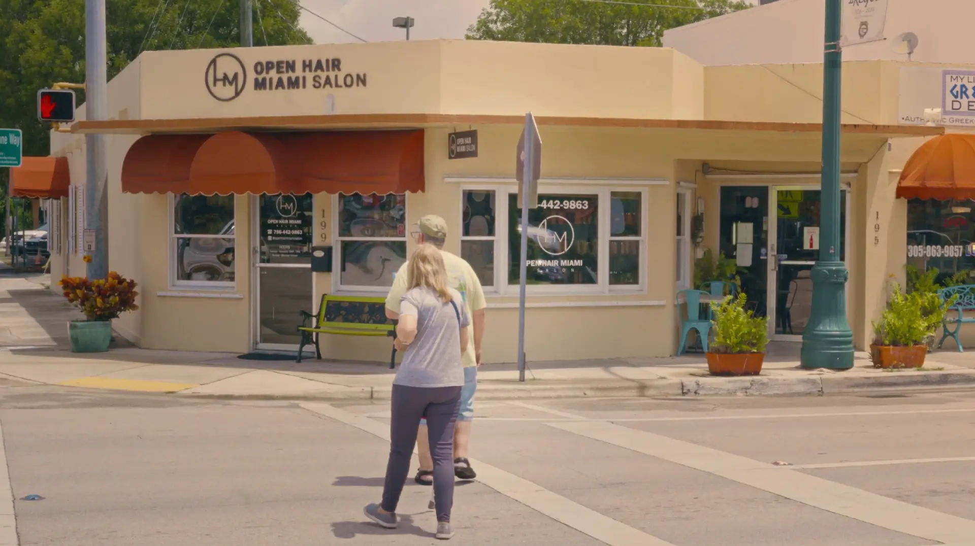
Ways to get involved

Attend
Come to a listening session. No sign-up, no agenda, just neighbors.

Ask
Submit a question anytime. It gets a public answer in the question log, not a private reply.

Share
Tell a neighbor. The best outreach is a resident saying “Same Springs” to the next street over.